
The Benefits of AI in Remote Sensing and Geospatial Analysis
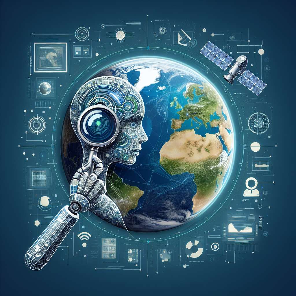
Artificial Intelligence (AI) has revolutionized many industries, and remote sensing and geospatial analysis are no exception. The integration of AI technologies in these fields has led to significant advancements in data collection, analysis, and interpretation, providing valuable insights for various applications ranging from agriculture and environmental monitoring to urban planning and disaster management.
Remote sensing refers to the collection of information about an object or phenomenon without physical contact. This is typically done using satellites, aircraft, drones, or other remote sensing platforms. Geospatial analysis, on the other hand, involves the processing and interpretation of geospatial data to better understand and visualize patterns and trends in the Earth’s surface and atmosphere. The combination of remote sensing and geospatial analysis allows for the monitoring of natural resources, land use changes, weather patterns, and much more.
AI technologies, such as machine learning and deep learning, have been increasingly applied in remote sensing and geospatial analysis to enhance the efficiency and accuracy of data processing and analysis. These technologies enable the automation of tasks that are traditionally time-consuming and labor-intensive, allowing for the rapid extraction of valuable information from large volumes of geospatial data.
One of the key benefits of using AI in remote sensing and geospatial analysis is the ability to analyze complex datasets and identify patterns that may not be easily discernible to the human eye. AI algorithms can be trained to recognize specific features in satellite imagery, such as land cover types, vegetation health, or building footprints, with a high degree of accuracy. This enables researchers and decision-makers to make more informed decisions based on reliable and up-to-date information.
Another advantage of AI in remote sensing and geospatial analysis is the ability to scale data analysis to cover large geographic areas. With the increasing availability of high-resolution satellite imagery and other geospatial data sources, traditional methods of manual data analysis are no longer feasible for processing such vast amounts of data. AI algorithms can process and analyze large datasets in a fraction of the time it would take a human analyst, making it possible to monitor changes over large areas with greater frequency and accuracy.
AI also plays a crucial role in improving the accuracy of geospatial data analysis. By training AI algorithms on large datasets of labeled imagery, researchers can develop models that can accurately classify and interpret new data. This is particularly important in applications such as land cover mapping, where the accuracy of the classification results is critical for informing land management decisions.
Moreover, AI can be used to automate the detection of changes in the Earth’s surface over time. By comparing multiple images of the same location taken at different times, AI algorithms can identify areas of land cover change, deforestation, urban expansion, and other land use changes. This capability is essential for monitoring environmental changes and assessing the impact of human activities on the landscape.
In addition to improving the efficiency and accuracy of data analysis, AI can also enhance the visualization of geospatial data. Advanced AI algorithms can generate 3D models of the Earth’s surface, simulate environmental processes, and create interactive maps that allow users to explore geospatial data in a more intuitive and immersive way. This can help researchers, policymakers, and the general public better understand complex geospatial information and make more informed decisions.
Overall, the integration of AI in remote sensing and geospatial analysis offers numerous benefits, including:
1. Improved efficiency and accuracy in data processing and analysis
2. Enhanced ability to analyze complex datasets and identify patterns
3. Scalability to cover large geographic areas and monitor changes over time
4. Automation of repetitive tasks, freeing up human analysts for more complex tasks
5. Enhanced visualization of geospatial data for better understanding and decision-making
FAQs:
Q: What are some examples of AI applications in remote sensing and geospatial analysis?
A: Some examples of AI applications in remote sensing and geospatial analysis include land cover mapping, crop monitoring, disaster response, urban planning, and environmental monitoring. AI algorithms can be used to analyze satellite imagery, aerial photographs, LiDAR data, and other geospatial datasets to extract valuable information for these applications.
Q: How does AI improve the accuracy of geospatial data analysis?
A: AI algorithms can be trained on large datasets of labeled imagery to develop models that can accurately classify and interpret new data. By learning patterns and features from the training data, AI algorithms can make predictions about the classification of new data with a high degree of accuracy, improving the overall accuracy of geospatial data analysis.
Q: Can AI be used for real-time monitoring of environmental changes?
A: Yes, AI can be used for real-time monitoring of environmental changes by analyzing near real-time satellite imagery and other geospatial data sources. AI algorithms can detect and track changes in land cover, vegetation health, water quality, and other environmental parameters, providing valuable insights for environmental monitoring and management.
Q: How can AI help in disaster response and recovery efforts?
A: AI can assist in disaster response and recovery efforts by analyzing satellite imagery to assess the extent of damage, identify areas in need of assistance, and prioritize resources for recovery efforts. AI algorithms can also be used to predict the likelihood and impact of natural disasters, such as floods, wildfires, and earthquakes, to help communities prepare and mitigate risks.
Q: What are the challenges and limitations of using AI in remote sensing and geospatial analysis?
A: Some challenges and limitations of using AI in remote sensing and geospatial analysis include the need for large volumes of high-quality training data, the complexity of developing and fine-tuning AI algorithms, and the potential for bias in the analysis results. Additionally, AI algorithms may struggle with interpreting subtle or ambiguous features in geospatial data, requiring human oversight and validation.
In conclusion, the integration of AI in remote sensing and geospatial analysis offers numerous benefits for data processing, analysis, and visualization. By leveraging AI technologies, researchers and decision-makers can extract valuable insights from geospatial data more efficiently and accurately, leading to improved environmental monitoring, land management, disaster response, and urban planning. As AI continues to evolve and advance, its role in remote sensing and geospatial analysis is expected to grow, providing new opportunities for innovation and discovery in these fields.