
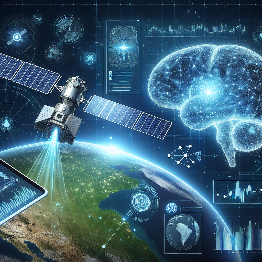
Remote sensing is the science of capturing information about the Earth’s surface without being in direct contact with it. This technology has been revolutionized in recent years with the integration of artificial intelligence (AI) techniques. AI has the potential to greatly enhance the capabilities of remote sensing, offering a wide range of benefits in various fields such as environmental monitoring, agriculture, disaster management, urban planning, and more.
There are several key benefits of incorporating AI in remote sensing:
1. Improved data analysis: One of the main advantages of using AI in remote sensing is its ability to analyze vast amounts of data quickly and accurately. Traditional methods of data analysis can be time-consuming and labor-intensive, but AI algorithms can process data much faster and provide more precise results. This allows for more efficient decision-making and better understanding of complex environmental processes.
2. Enhanced image classification: AI can be used to automatically classify images obtained through remote sensing into different categories, such as land cover types, vegetation density, water bodies, and more. This can help researchers and policymakers to better understand changes in land use, monitor deforestation, track urban expansion, and assess environmental impacts.
3. Automated feature extraction: AI algorithms can be trained to automatically extract specific features from remote sensing data, such as buildings, roads, rivers, and other objects of interest. This can save time and effort in manual feature extraction, especially in large-scale mapping projects.
4. Improved accuracy: AI techniques can help to improve the accuracy of remote sensing data by reducing errors and noise in the images. By using advanced machine learning algorithms, researchers can enhance the quality of data and make more reliable predictions about environmental changes.
5. Cost-effective monitoring: AI-powered remote sensing can provide a cost-effective solution for monitoring vast areas of land, water, and infrastructure. By using drones, satellites, or other remote sensing platforms equipped with AI algorithms, researchers can collect data more efficiently and cover larger geographical areas at a lower cost.
6. Real-time monitoring: AI technology enables real-time monitoring of environmental changes, such as deforestation, flooding, wildfires, and other natural disasters. By analyzing data in near real-time, researchers can quickly respond to emergencies, assess damages, and plan appropriate mitigation measures.
7. Enhanced disaster management: AI can play a crucial role in disaster management by providing timely and accurate information about the extent of damages, identifying vulnerable areas, and predicting future risks. By combining remote sensing data with AI algorithms, emergency response teams can make more informed decisions and save lives during natural disasters.
FAQs about AI in Remote Sensing:
Q: What is the role of AI in remote sensing?
A: AI plays a crucial role in remote sensing by enhancing data analysis, image classification, feature extraction, accuracy, cost-effectiveness, real-time monitoring, and disaster management.
Q: How does AI improve data analysis in remote sensing?
A: AI algorithms can process vast amounts of data quickly and accurately, providing more precise results and enabling efficient decision-making.
Q: Can AI automatically classify images obtained through remote sensing?
A: Yes, AI algorithms can be trained to automatically classify images into different categories such as land cover types, vegetation density, water bodies, and more.
Q: How does AI help in feature extraction from remote sensing data?
A: AI algorithms can be used to automatically extract specific features from remote sensing data, such as buildings, roads, rivers, and other objects of interest.
Q: Is AI cost-effective for monitoring large geographical areas?
A: Yes, AI-powered remote sensing can provide a cost-effective solution for monitoring vast areas of land, water, and infrastructure.
Q: Can AI enable real-time monitoring of environmental changes?
A: Yes, AI technology enables real-time monitoring of environmental changes such as deforestation, flooding, wildfires, and other natural disasters.
Q: How does AI enhance disaster management using remote sensing data?
A: AI can provide timely and accurate information about the extent of damages, identify vulnerable areas, and predict future risks during natural disasters.
In conclusion, the integration of AI in remote sensing offers numerous benefits in various fields such as environmental monitoring, agriculture, disaster management, urban planning, and more. By leveraging the power of AI algorithms, researchers and policymakers can analyze data more efficiently, classify images accurately, extract features automatically, improve data accuracy, reduce costs, monitor changes in real-time, and enhance disaster management. The future of remote sensing is bright with the advancements in AI technology, paving the way for more sustainable and informed decision-making in a rapidly changing world.