
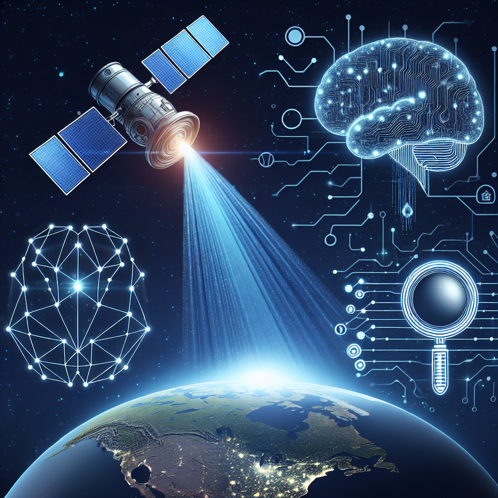
Remote sensing is a powerful technology that allows us to gather information about the Earth’s surface from a distance. This technology has been widely used in various fields such as agriculture, forestry, urban planning, and environmental monitoring. With the advancement of artificial intelligence (AI) tools, remote sensing has been revolutionized, allowing for more accurate and efficient data analysis.
The Impact of AI Tools on Remote Sensing
AI tools have greatly enhanced the capabilities of remote sensing, enabling more precise and timely analysis of satellite imagery and other remote sensing data. These tools are able to process large amounts of data quickly and accurately, allowing researchers and scientists to gain valuable insights into various environmental and social issues.
One of the key benefits of using AI tools in remote sensing is the ability to automate the analysis of satellite imagery. Traditionally, researchers would have to manually examine each image to extract relevant information. This process was time-consuming and prone to errors. With AI tools, this analysis can be done automatically, saving time and ensuring greater accuracy. This has opened up new possibilities for remote sensing applications, allowing for more frequent monitoring of environmental changes and faster response to natural disasters.
AI tools have also improved the accuracy of remote sensing data analysis. By using machine learning algorithms, researchers can train AI models to recognize patterns in satellite imagery and other remote sensing data. This allows for more precise identification of features such as land cover, land use, and vegetation types. In addition, AI tools can help to detect changes in the environment over time, such as deforestation, urbanization, and land degradation. This information is crucial for environmental monitoring and conservation efforts.
Another important impact of AI tools on remote sensing is their ability to integrate data from multiple sources. Remote sensing data is often collected from different sensors and platforms, such as satellites, drones, and ground-based sensors. AI tools can help to combine and analyze these disparate data sources, providing a more comprehensive view of the environment. This integrated approach allows researchers to gain a better understanding of complex environmental processes and interactions.
AI tools have also improved the efficiency of remote sensing data analysis. By automating repetitive tasks, such as image classification and feature extraction, researchers can focus on more advanced analysis and interpretation of the data. This has led to faster and more accurate results, enabling decision-makers to make informed choices based on up-to-date information.
The integration of AI tools with remote sensing technology has also led to the development of new applications and services. For example, AI-powered algorithms can be used to monitor crop health, predict natural disasters, and assess the impact of climate change. These applications have the potential to revolutionize how we manage our natural resources and respond to environmental challenges.
In conclusion, AI tools have had a significant impact on remote sensing, enabling more accurate, efficient, and integrated analysis of environmental data. These tools have opened up new possibilities for monitoring and managing our natural resources, and have the potential to transform how we address environmental issues in the future.
FAQs
Q: What are some common AI tools used in remote sensing?
A: Some common AI tools used in remote sensing include machine learning algorithms, neural networks, and deep learning models. These tools are used to analyze satellite imagery, extract features from remote sensing data, and predict environmental changes.
Q: How do AI tools improve the accuracy of remote sensing data analysis?
A: AI tools improve the accuracy of remote sensing data analysis by allowing researchers to train models to recognize patterns in satellite imagery and other remote sensing data. This enables more precise identification of features such as land cover, land use, and vegetation types.
Q: What are some of the applications of AI tools in remote sensing?
A: Some applications of AI tools in remote sensing include monitoring crop health, predicting natural disasters, assessing the impact of climate change, and detecting changes in the environment over time. These applications have the potential to revolutionize how we manage our natural resources and respond to environmental challenges.
Q: How do AI tools improve the efficiency of remote sensing data analysis?
A: AI tools improve the efficiency of remote sensing data analysis by automating repetitive tasks, such as image classification and feature extraction. This allows researchers to focus on more advanced analysis and interpretation of the data, leading to faster and more accurate results.